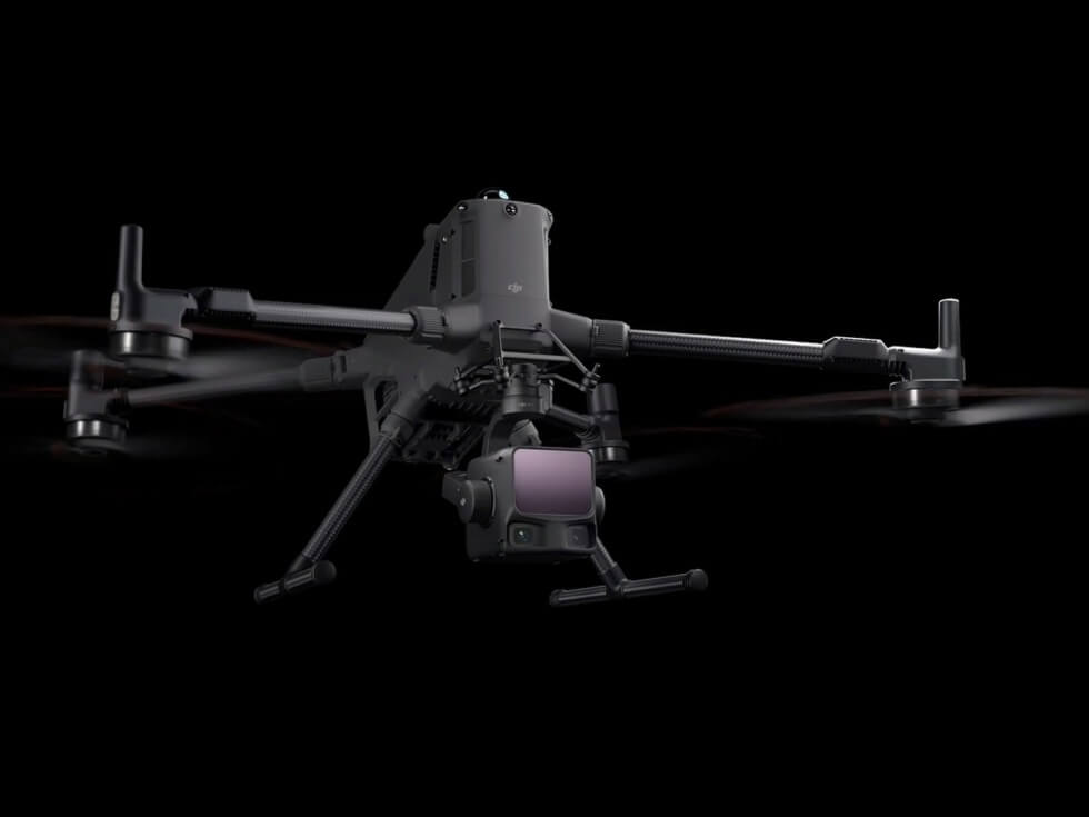
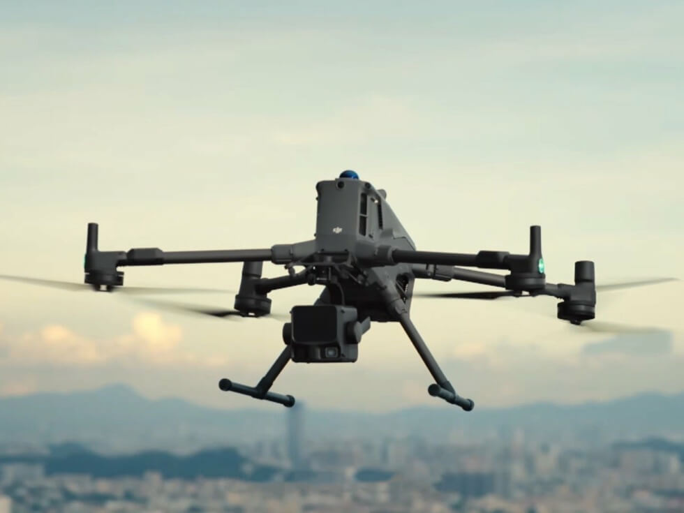
DJI maintains its position as the leading brand for recreational-grade and professional-tier drones. It also has a growing lineup of handheld gimbals and imaging products. Still, quadcopters are what the firm is known for, and for a good reason. The Zenmuse L3 is a new addition to its diverse add-on roster and is the “first long-range, high-accuracy aerial LiDAR system.”
This cutting-edge imaging payload is exclusively compatible with the Matrice 400 model. Hence, you’ll need to fork over extra for the drone to fully take advantage of the accessory’s functionalities. The total cost of the bundle clearly denotes that the hardware is for commercial use by various industries.
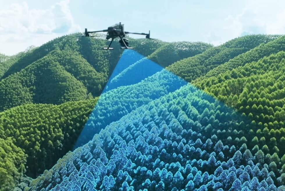
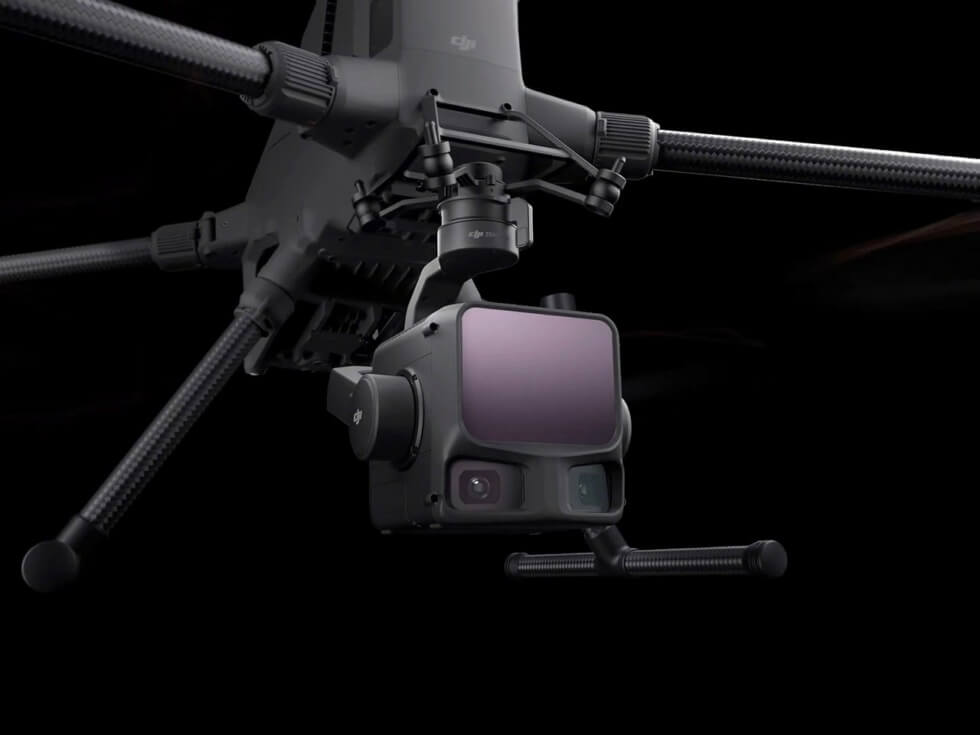
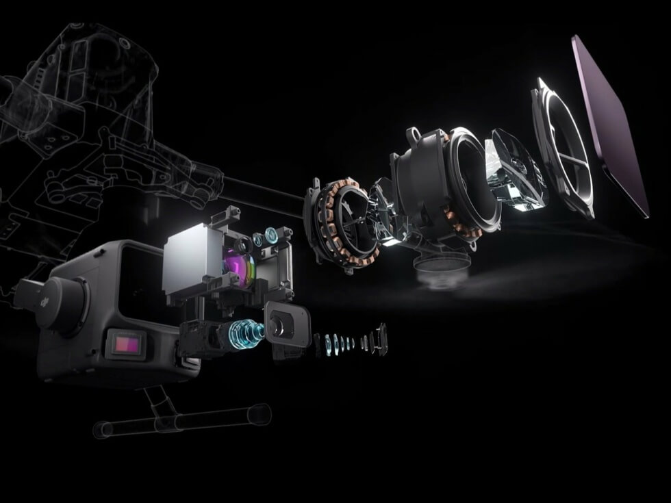
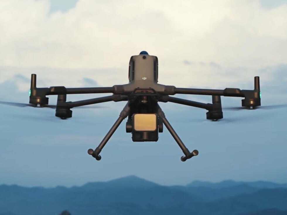
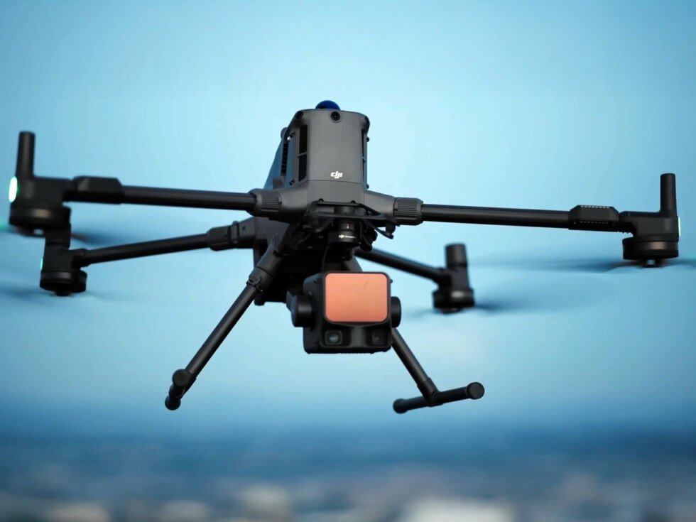
“Zenmuse L3 integrates a 1535nm long-range LiDAR, dual 100MP RGB mapping cameras, a high-precision POS system, and a three-axis gimbal, all within a compact device, delivering unprecedented performance for its size,” writes DJI. Specifically, its features are beneficial to those who need to scan large areas in a single sweep.
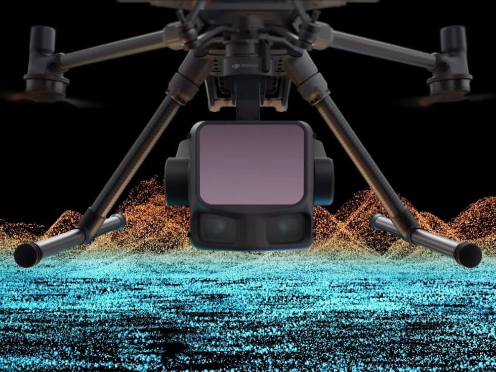
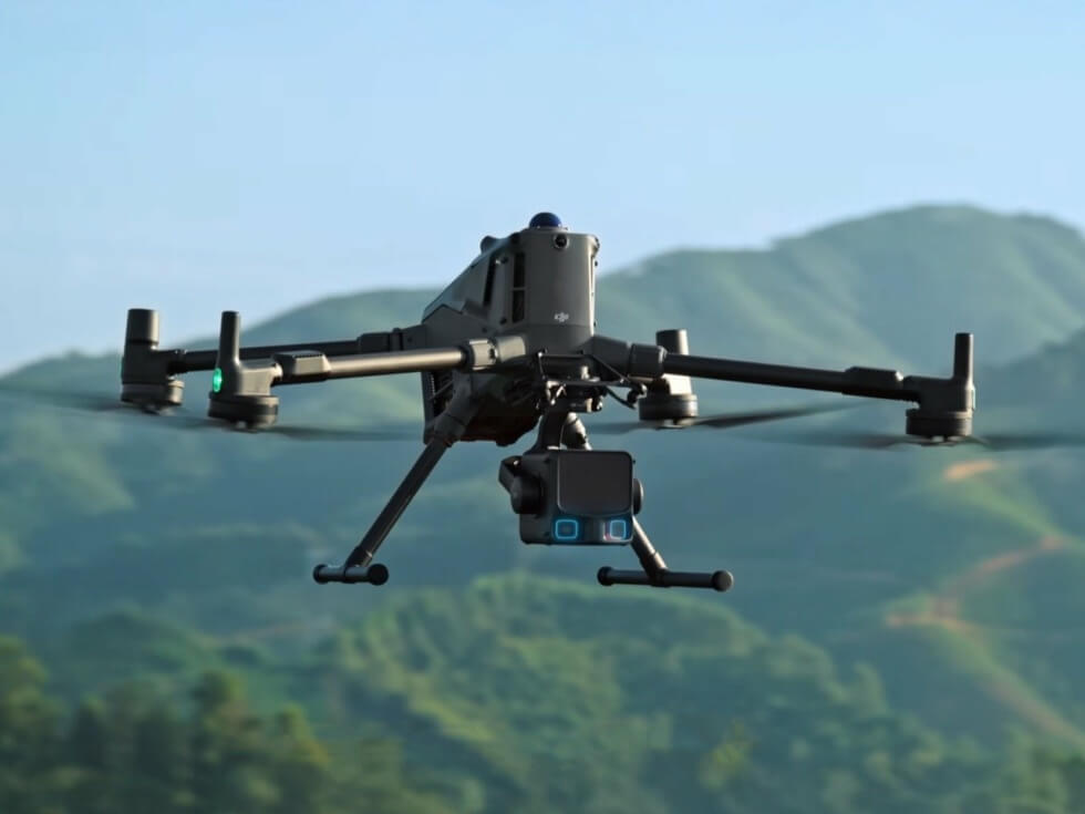
Projects requiring scales such as 1:500, 1:1000, and 1:2000 with high penetration will find this extremely versatile. The Matrice 400 is the ideal platform, which allows the imaging unit to cover up to 10,000 hectares in a day. Plus, it can simultaneously record RGB data alongside LiDAR to deliver DEM (Digital Elevation Mapping) and more.
Sensitive electronics require adequate protection, and the Zenmuse L3 is rated at IP54. Scenarios include topographic surveys, mining surveys, emergency surveys, earthwork, forestry management, geological disaster investigation, utility tower placement, and engineering surveys. You’d better brush up on your Matrice 400 piloting skills to fully utilize the add-on’s capabilities.
Learn More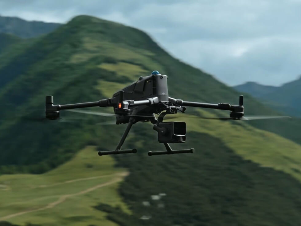
Images courtesy of DJI